Morwellham Quay
The Bedford Estate, the Tamar and the mining trade
The story of Morwellham joins an ancient river port to the estate of the Dukes of Bedford and the great nineteenth-century mining industry. From the lanes around Tavistock to the quays on the Tamar, the landscape records centuries of change.
The Bedford Estate and Tavistock
After the Dissolution of Tavistock Abbey in 1539, its extensive possessions passed into the hands of John Russell, ancestor of the Dukes of Bedford. The estate’s influence eventually reached well beyond land ownership: it shaped housing, employment, public buildings and the appearance of Tavistock and neighbouring settlements. The landlord was often also an important source of work, making the relationship both a source of investment and a form of dependence.
Mill Hill: housing for an industrial community
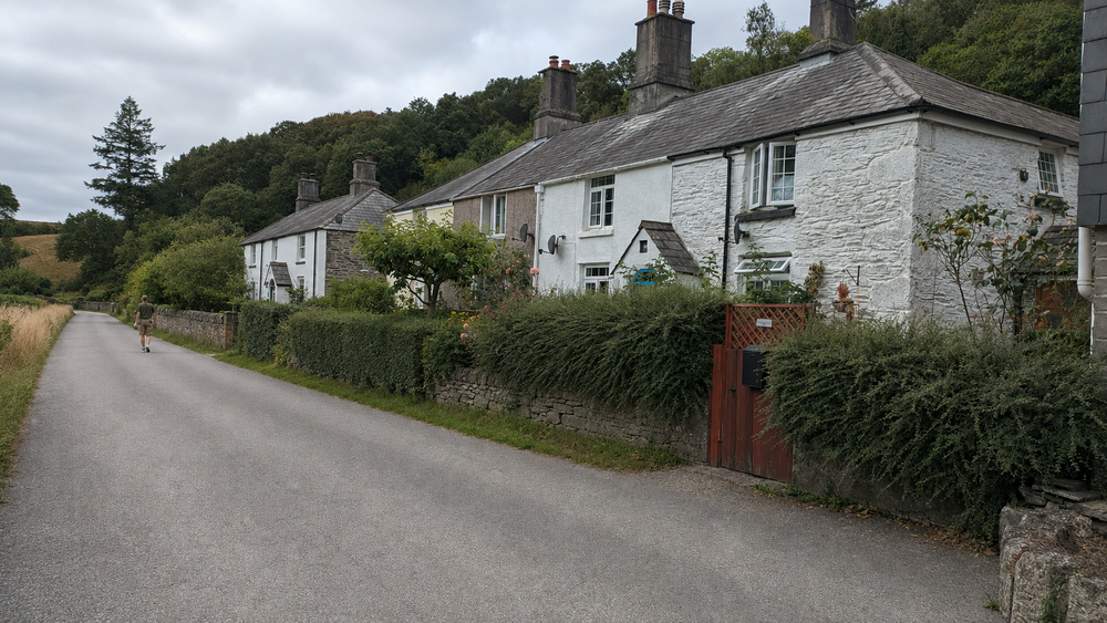
The surviving Mill Hill Cottages show the Bedford Estate’s involvement in housing. The group of 24 dwellings dates from about 1850–54 and stands in an industrial landscape associated with the Mill Hill slate quarry. The archaeological record describes their identification specifically as quarry workers’ cottages as probable, rather than conclusively established.
An ancient quay on the Tamar
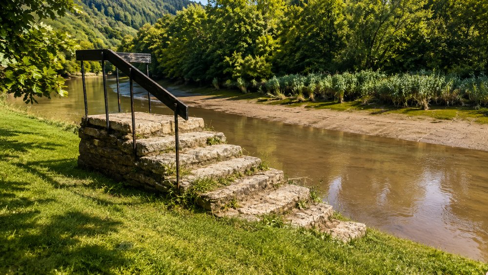
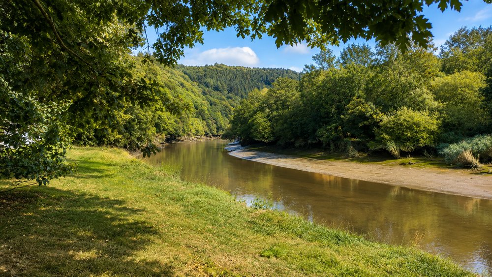
Morwellham’s history predates the great mining boom. By the thirteenth century the quay served Tavistock Abbey, bringing in supplies and sending tin and other produce downriver. Its position on the navigable Tamar connected the inland economy to Plymouth and the sea. After the Dissolution, Morwellham too passed into Russell ownership.
Canal, mines and a copper boom
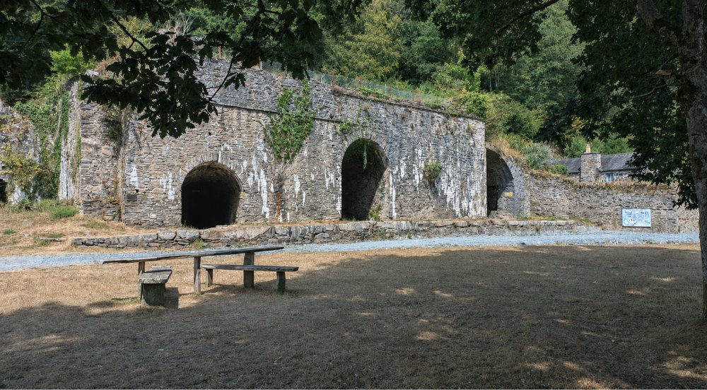
The Tavistock Canal, completed in 1817, connected Tavistock to Morwellham, allowing ore to travel towards the river while coal, limestone and timber moved inland. The opening of Devon Great Consols in 1844 transformed the scale of operations. In 1857–58 a railway and steep incline were constructed to move ore more efficiently to newly developed quays. At its Victorian peak Morwellham became a major copper-exporting port, with international connections.
The people who lived and worked here
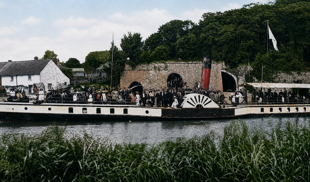
The remains of industrial buildings tell only part of the story. Transport workers, miners, tradespeople and their families formed a community alongside the quays and roads. Old photographs of the settlement and its schoolchildren bring that human dimension back into view. The surviving ruins record an economy that required buildings and machinery; the family photographs record the lives lived around them.

Decline and survival
From the 1860s falling copper prices and changing markets weakened the district’s mining economy. Arsenic later became an important product, but the decline of local mines and changes in transport progressively reduced Morwellham’s river trade. By the early twentieth century the port’s commercial heyday was over. The quays, surviving buildings and industrial remains have since become valuable evidence of the Tamar Valley’s role in the wider mining world.
The landscape seen from a bicycle
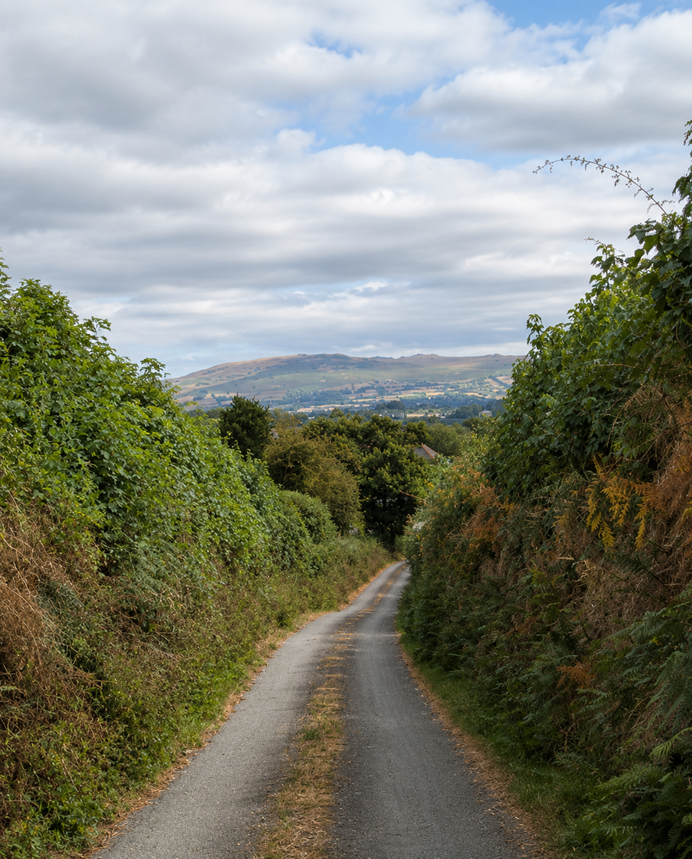
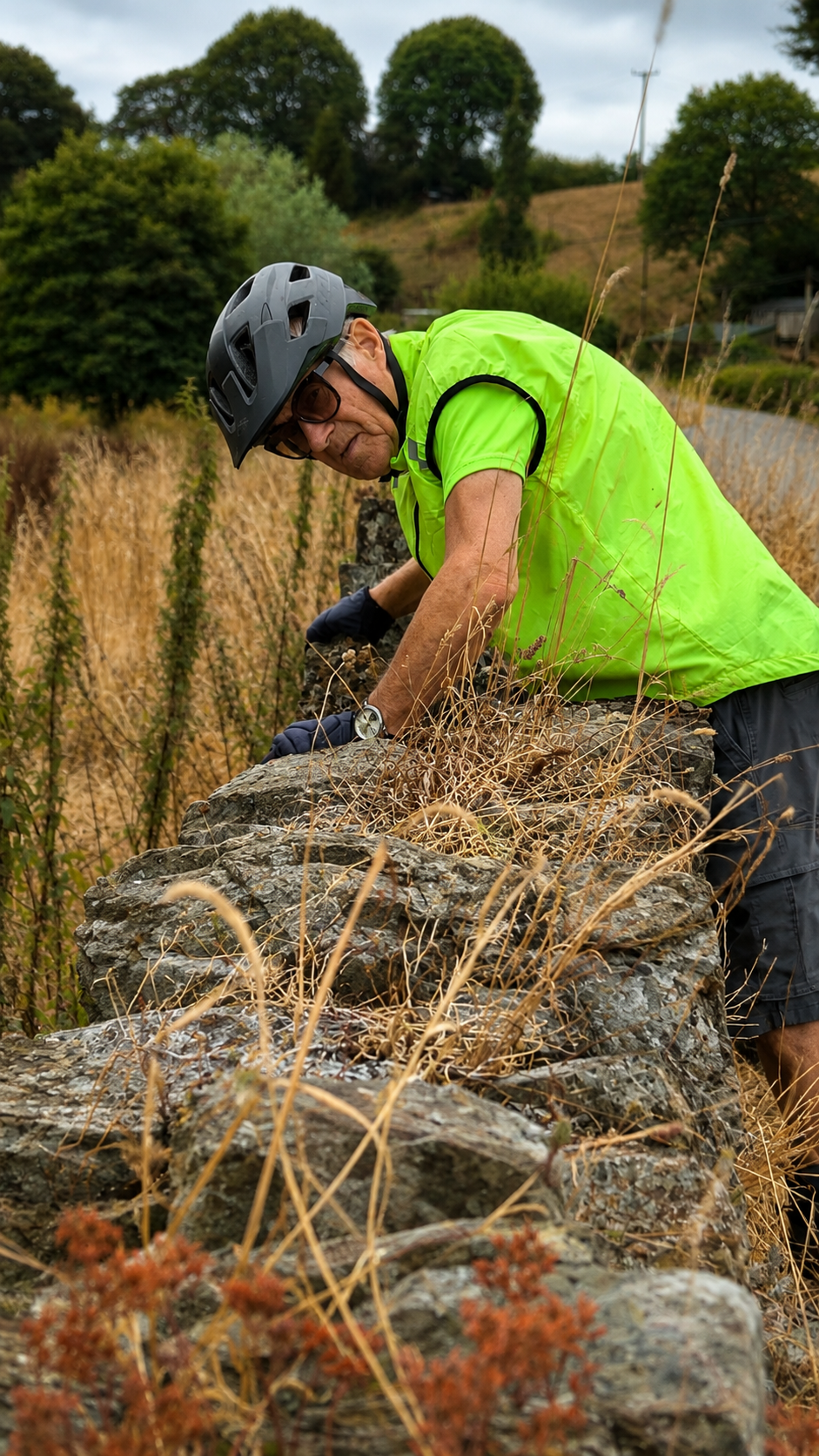
On the ride back towards Gulworthy and Tavistock, the hills are more than a physical challenge. The steep gradients, wooded valley and former industrial settlements help explain why canals, inclines and river transport were so important. What looks today like a series of small Devon lanes once connected estates, quarries, mines and a busy port.
Sources & Further Reading
- Historic England, Tavistock Conservation Area and the Bedford Estate’s historic buildings (including list entry 1020401).
- Historic England, Morwellham Quay, scheduled monument, list entry 1021461.
- Devon Historic Environment Record, Mill Hill Cottages, MDV21611 (as reproduced by Heritage Gateway).
- Historic England, Cornwall and West Devon Mining Landscape, Tamar Valley mining heritage.