Sampford Spiney and the Tamar Valley
A small Dartmoor parish within a landscape transformed by mining
Sampford Spiney and Tavistock offer two very different scales of local history. At Sampford Spiney the evidence is intensely local: a church, an old school, family memorials and a handful of buildings recording the life of a small rural parish. A few miles farther west, Tavistock opens onto the Tamar Valley, where nineteenth-century mining connected Dartmoor with an industrial network extending through Morwellham and Plymouth to markets far beyond Devon.
Sampford Spiney: the parish in stone
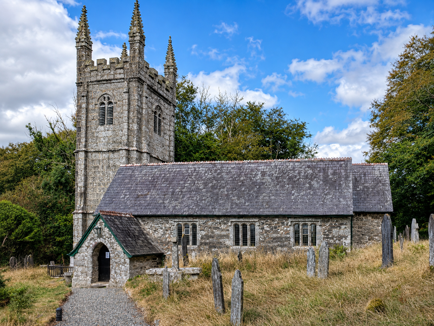
Sampford Spiney was already an established settlement by the time of Domesday, but its surviving buildings tell their story most clearly from the later Middle Ages onwards. At the centre stands the Grade I listed Church of St Mary. Historic England dates the nave and north transept to the late thirteenth or early fourteenth century. The tower, south aisle and porch belong largely to an early- to mid-sixteenth-century enlargement, while the chancel and vestry reflect nineteenth-century restoration.
Inside St Mary’s
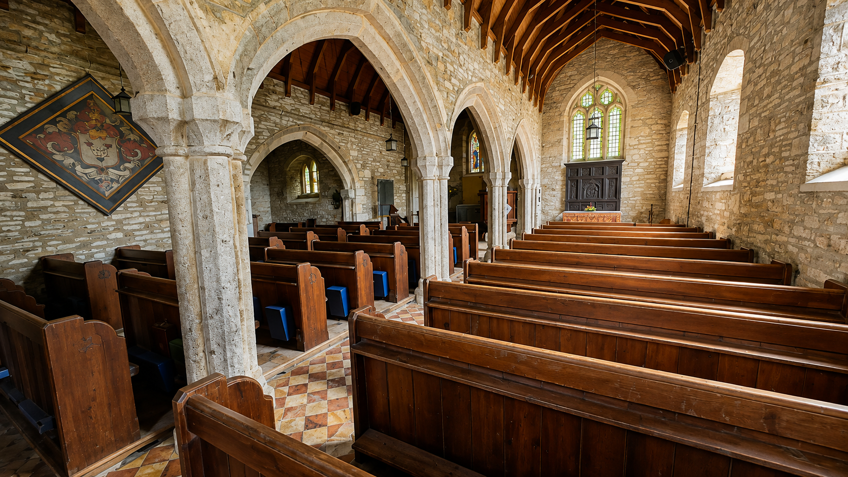
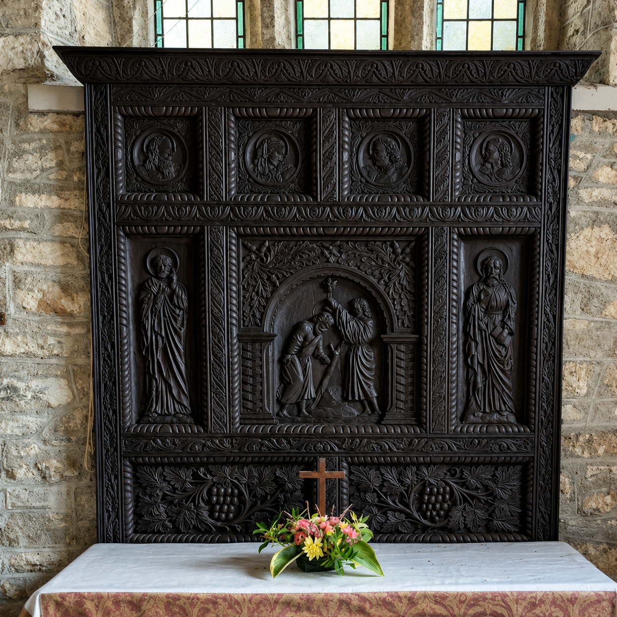
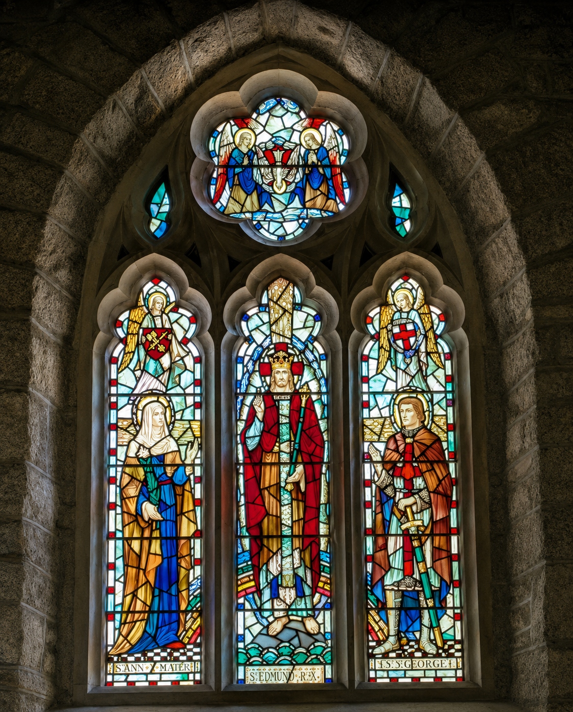
The interior makes the successive stages of the building easier to understand. Medieval fabric, later fittings, stained glass and memorials accumulated rather than replacing one another completely. The result is not a church belonging to one date, but a record of generations of parish life.
The people behind the parish records
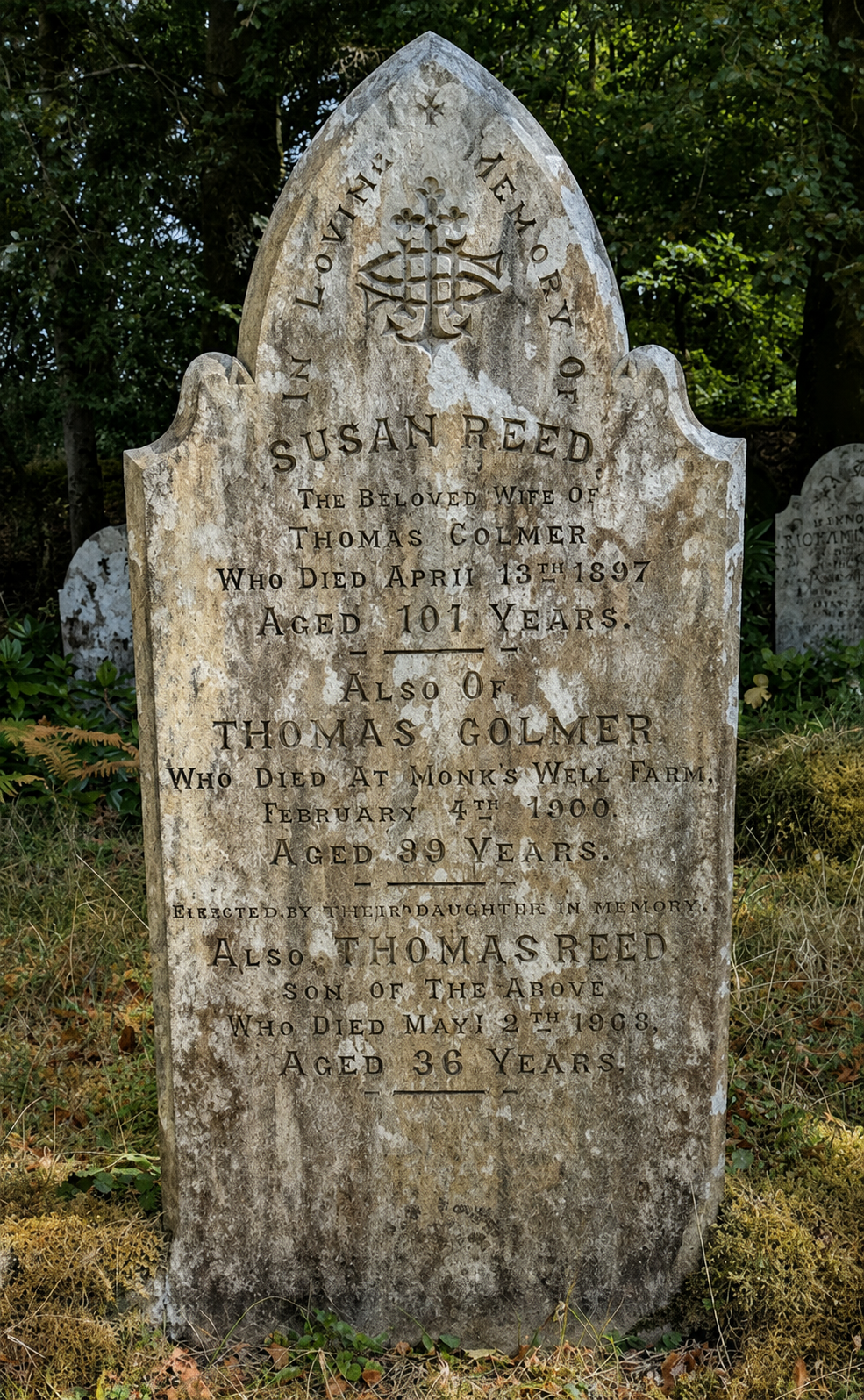
A burial register can look like little more than a succession of names and dates. Read beside the churchyard and memorials, however, it becomes a record of families who repeatedly appear in the same small community. Historic England separately lists several of the churchyard monuments, including early nineteenth-century memorials to the Hancock and Spurrell families and a late eighteenth-century Youlden headstone. Such survivals help turn entries in a register back into individuals who belonged to this place.
The old school house: one building, several purposes
The building beside the church is particularly revealing. It looks like a small Victorian school, but its history is considerably older. Historic England identifies its rear wing as a probable late-sixteenth-century church house. Parish and census records later describe it variously as a poor house, church house and church cottage.
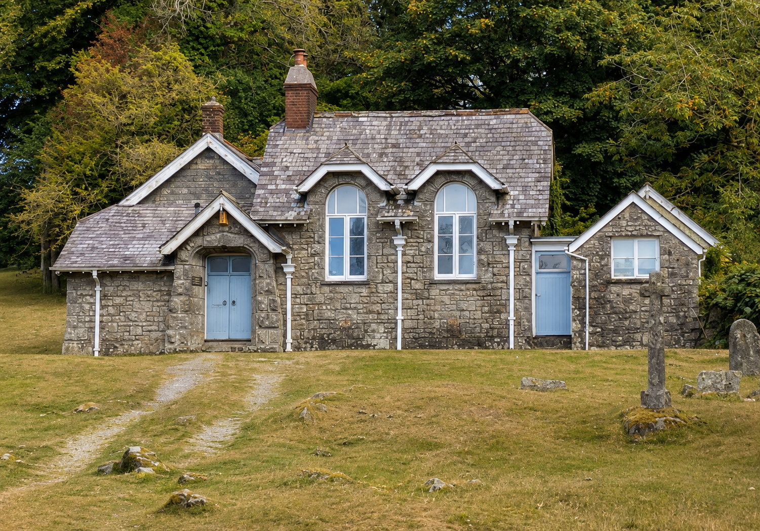
In 1888 the Rev. J. H. Parlby conveyed the building for use as a Board School, Sunday school and meeting place. It was enlarged in 1899. The school eventually closed in 1923 and the building later became a private house. Few buildings illustrate the changing organisation of a small parish so neatly: communal, charitable, educational and domestic uses followed one another on the same site.
From a rural parish to an industrial landscape
The road towards Tavistock enters a different historical world. Farming remained important, but the nineteenth-century Tamar Valley was transformed by mineral extraction. Copper, tin and arsenic were mined on a scale that required capital, transport, engineering and large workforces. Tavistock became one of the principal urban centres of that economy.
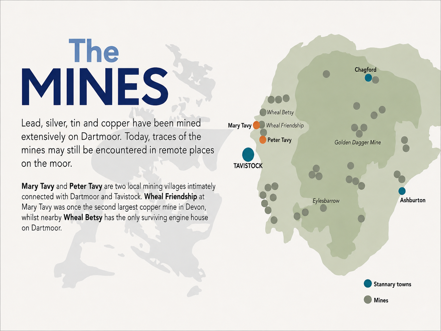
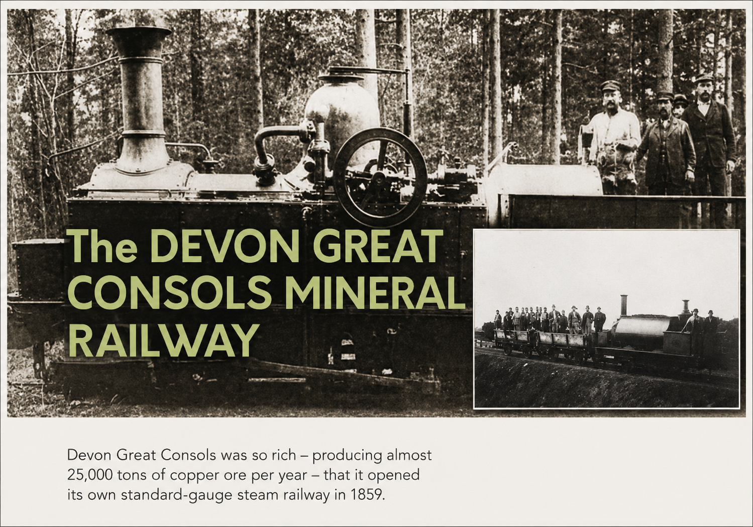
The most spectacular example was Devon Great Consols. During its great period of copper production it became one of the outstanding mines of the district; later its arsenic production was of international importance. The industry left far more than mine workings. Water systems, spoil heaps, arsenic works, railways, canals, quays and workers’ settlements formed parts of one connected industrial landscape.
Tavistock, the Bedfords and mining wealth
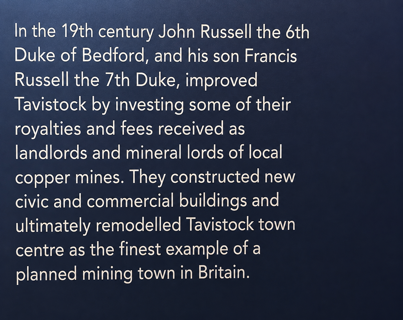
Tavistock itself shows where some of the wealth went. The medieval town had long been shaped by its abbey and later by the Russell family, Dukes of Bedford. In the nineteenth century the Bedford estate received substantial income from mining, particularly Devon Great Consols. The town was remodelled during the same period, acquiring major public buildings and planned housing which still give central Tavistock much of its character.
From Dartmoor to the world
Mining on this scale depended on transport. The Tavistock Canal, constructed in the early nineteenth century, linked the town with Morwellham Quay on the Tamar. Minerals could then move by water towards Plymouth and the sea, while coal, machinery and other supplies travelled in the opposite direction. Railways later added another layer to this transport network.
The importance of the surviving landscape is now internationally recognised. The Tamar Valley Mining District with Tavistock forms part of the Cornwall and West Devon Mining Landscape World Heritage Site. What can look from a bicycle like scattered mine ruins, old tracks and substantial Victorian buildings are surviving elements of an industrial system that once reached world markets.

Two scales of history
Sampford Spiney and the Tamar Valley approach the past from opposite directions. At St Mary’s, history can be followed through individual names, parish records, memorials and buildings serving a few hundred people. Around Tavistock, the evidence belongs to a regional economy: mines, estate wealth, transport systems and international trade.
The two stories nevertheless meet. Rural communities did not exist apart from the economic changes taking place around them, and the industrial landscape was populated by individuals whose lives were recorded in exactly the sort of parish sources preserved at Sampford Spiney. The ride passes from one scale to the other within only a few miles.
Sources & Further Reading
- Historic England — Church of St Mary, Sampford Spiney, List Entry 1326222.
- Historic England — The Old National School, Sampford Spiney, List Entry 1326239.
- Historic England — Hancock, Spurrell and other listed churchyard monuments at St Mary’s.
- St Mary’s Church, Sampford Spiney — church guide and parish history.
- UNESCO World Heritage Centre — Cornwall and West Devon Mining Landscape, including the Tamar Valley Mining District with Tavistock.
- Historic England and local historic-environment records — Tavistock and Tamar Valley mining heritage.