Whiddon Down
History & Photographs — Roads, Crosses and Communities
Finding the way
Long before road signs, fingerposts and satnavs, travellers crossing Dartmoor had to find their way through an often confusing landscape. More than a hundred medieval wayside crosses survive on the moor. Some were religious monuments, but they could also serve the very practical purpose of marking a route.
Leapra Cross and Hospit Cross are examples encountered in this part of Dartmoor. Hospit Cross — also known as Horspit Cross and Stumpy Cross — became particularly useful as a direction marker. Letters carved into the stone indicated routes towards Okehampton, Newton, Moreton and Bovey.
William Crossing recorded a tradition that the name Horspit referred to a pit nearby where travellers could water their horses. Whether or not that explanation is correct, the cross reminds us that these lanes were once part of an important network travelled on foot and horseback long before the modern road system existed.
Chagford and the Three Crowns
Chagford was already an important settlement when the Whiddon family built a substantial town house here in the later sixteenth century. The building subsequently became an inn. By the late seventeenth century it was known as the Black Swan and later became the Three Crowns.
An inn was more than somewhere to obtain food and drink. Inns provided accommodation for travellers and their horses and therefore needed stables, yards and other buildings. Together with taverns and alehouses, they formed an essential part of the transport network of the period.
The distinction between these establishments was once significant. An alehouse primarily sold ale, a tavern traditionally specialised in wine, while an inn provided lodging as well as refreshment. In a town such as Chagford, the inn was therefore both a social centre and part of the infrastructure of travel.
Whiddon Down — when the road created the village
Whiddon Down illustrates particularly clearly the influence of roads upon settlement. The village developed around an important junction of highways and turnpike roads rather than growing from an ancient village centre.
A toll house at Whiddon Cross probably dates from about 1826. Turnpike trusts improved and maintained important roads and recovered their costs by charging travellers at toll gates. Where roads met, settlements frequently followed. Houses, inns, trades and services appeared because people were passing through.
Whiddon Down also provides evidence of another powerful influence on nineteenth-century Devon: Nonconformist Christianity. Methodism and the Bible Christian movement became particularly strong in Devon and Cornwall, establishing chapels in towns, villages and small rural communities.
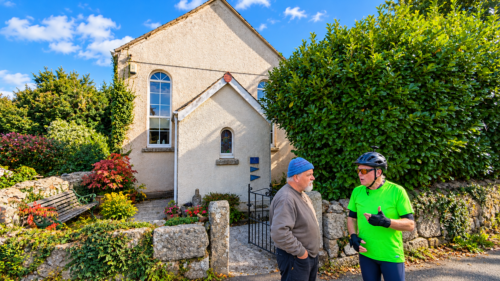
The older chapel at Whiddon Down, dating from 1885.
At Whiddon Down the older chapel building dates from 1885. A second, more elaborate chapel was erected opposite in 1906. The two buildings therefore preserve, within a few yards of one another, evidence of the strength and development of the local Nonconformist community.
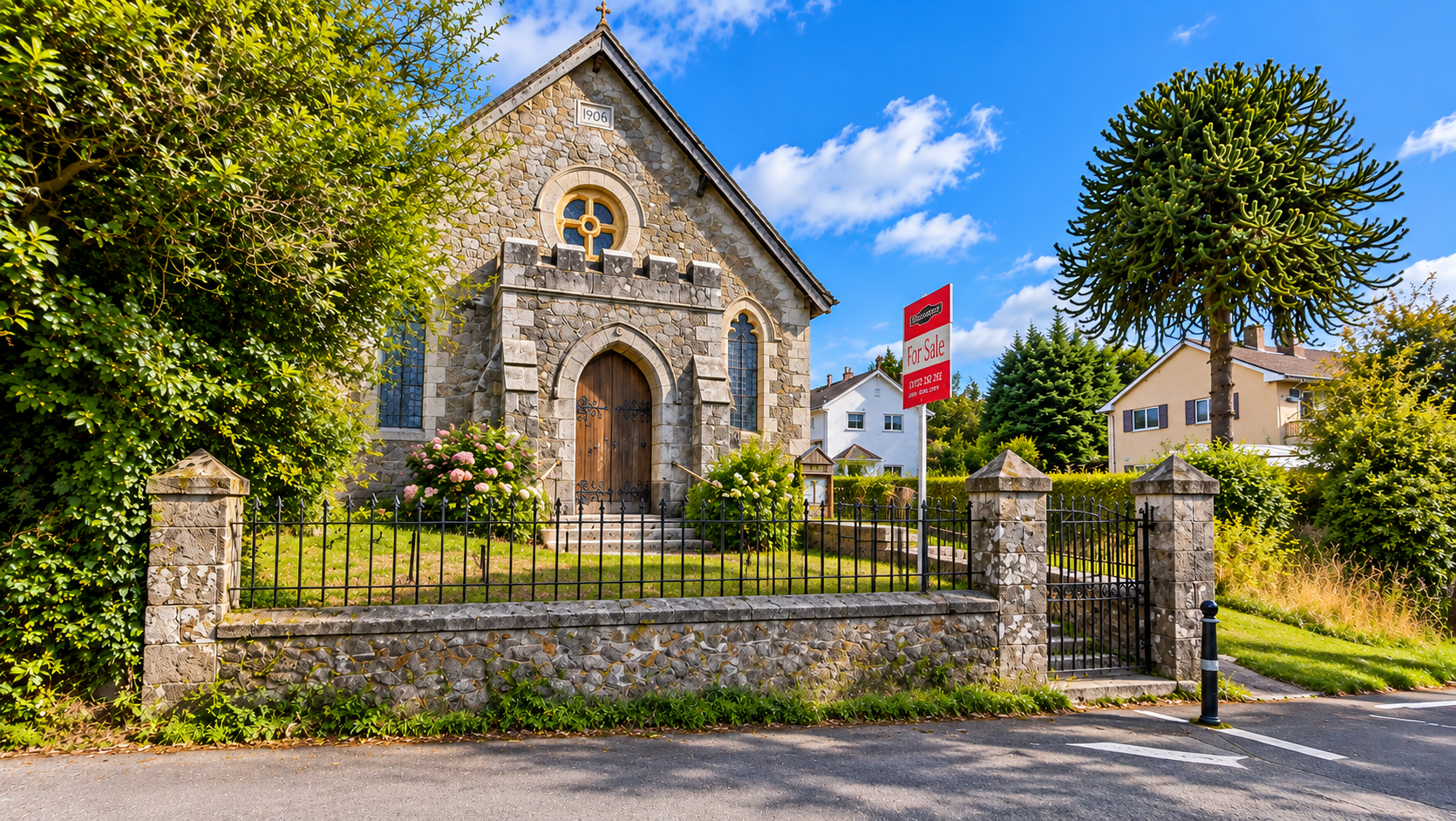
The chapel built in 1906. More than a century later, the building was offered for sale.
The building has hardly moved. The society around it has.
Drewsteignton — how a village worked
Drewsteignton has much older roots. The settlement is Anglo-Saxon in origin and several manors in the area were recorded in the Domesday Book. What makes the village especially interesting today is the survival of buildings which illustrate how a rural community once functioned.
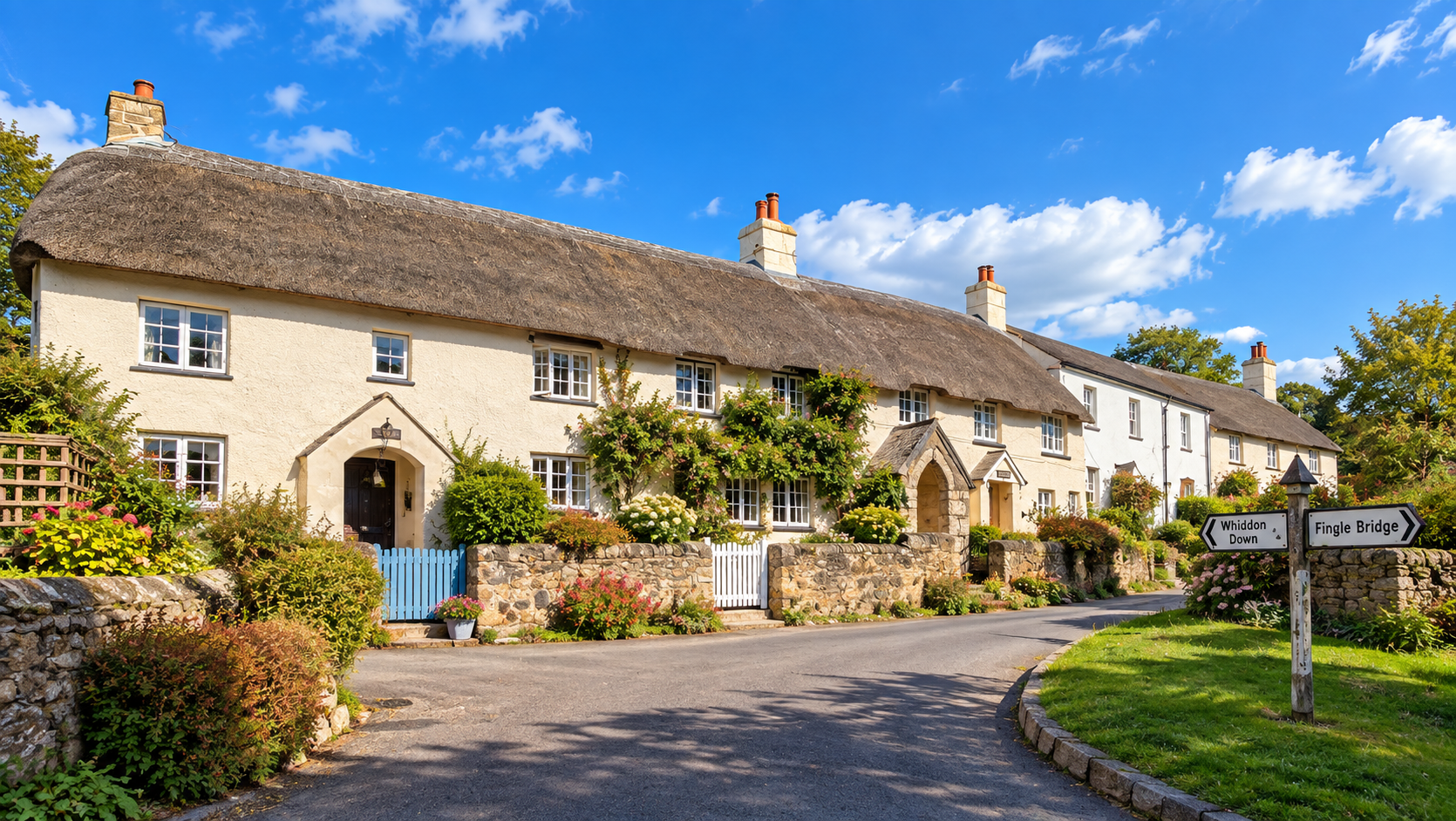
Old cottages at Drewsteignton — part of a village whose buildings still reveal much of its earlier character.
The parish once provided an almshouse together with seven houses for poor inhabitants. Almshouses should not be confused with the later workhouse system. They were charitable housing, generally intended for elderly or poor members of the local community. Their existence reflects a time when responsibility for poverty and welfare was largely organised locally.
Church, ale and community
Drewsteignton's sixteenth-century Church House is another survival from this older social structure. Church Houses were communal buildings used for parish activities and particularly for church ales — gatherings at which ale was sold to raise money for the church and other communal purposes.
Nearby stands the Drewe Arms. Church, Church House, poor relief, cottages and inn were not isolated institutions. Together they formed the framework around which much of village life revolved.
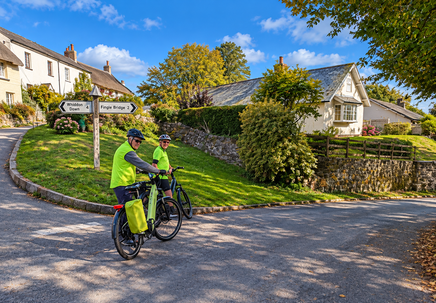
At Drewsteignton: the fingerpost points back towards Whiddon Down and onwards towards Fingle Bridge.
An Iron Age landscape
The history of the area extends much further back than its churches, chapels and turnpikes. Above the Teign valley lie Prestonbury Castle and Cranbrook Castle, both substantial prehistoric hillforts.
Their precise functions cannot be known with certainty. Hillforts may have served defensive, social, economic or symbolic purposes at different times. What they demonstrate beyond doubt is that people were occupying, organising and moving through this landscape many centuries before the present villages and roads appeared.
Fingle Bridge — when this was the main road
Fingle Bridge is a narrow granite bridge across the River Teign, probably dating from the early seventeenth century. Its north arch was rebuilt in 1809.
Today the bridge seems tucked away in a wooded valley at the end of minor lanes. In the eighteenth century its importance was very different. Benjamin Donn's map of Devon, published in 1765, shows the road across Fingle Bridge as the principal route between Drewsteignton and Moretonhampstead.
The carriageway is only about two metres wide. Yet traffic between these communities once had to pass this way. Later road improvements shifted the main lines of communication elsewhere and the old route lost its importance.
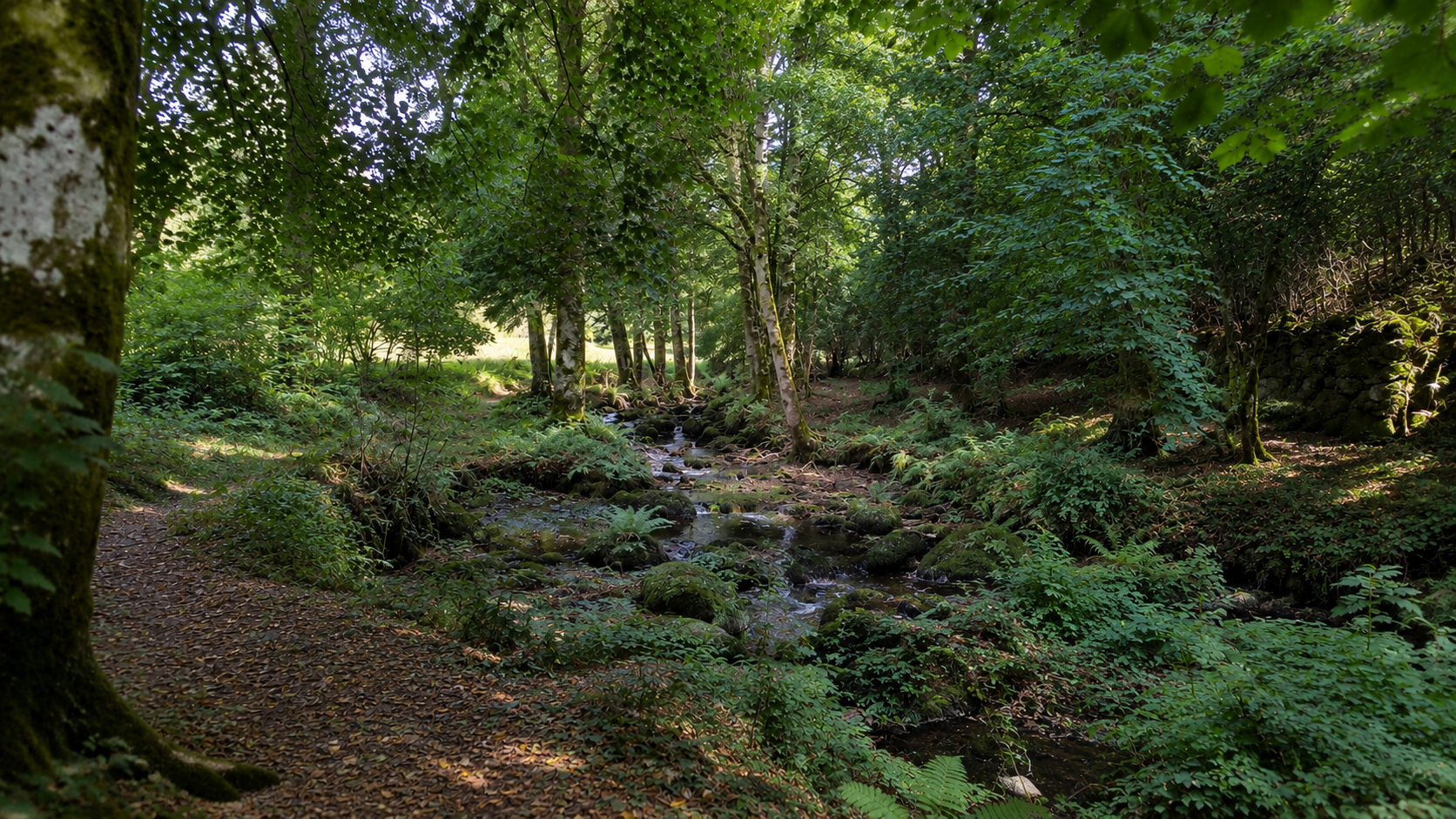
The wooded country of the Teign valley near the final part of the route.
A landscape made by travellers
This short ride passes through a landscape in which different periods of history remain unusually visible.
A granite cross marks a medieval road. A Tudor house becomes an inn. A turnpike creates a settlement. A parish provides houses for its poor. Ale helps finance the church. An old main road crosses a seventeenth-century bridge beneath Iron Age hillforts.
None of these things is accidental. They are traces left by people moving through the landscape and by the communities which developed along their routes.
For perhaps two thousand years people have been finding ways through this same landscape. We merely have bicycles.
Sources and further reading
- Historic England — Hospit Cross
- Chagford Local History Society
- Cornwall Heritage Trust — Methodism in the South West
- Methodist Heritage
- Drewsteignton Parish — Local History
- Historic England — Church House, Drewsteignton
- Historic England — Cranbrook Castle
- Historic England — Prestonbury Castle
- Historic England — Fingle Bridge